Urban Resurvey
Overview
The Urban Resurvey initiative is a groundbreaking program aimed at modernizing urban property records through comprehensive digital surveying. This initiative leverages cutting-edge technology to create accurate, up-to-date property records that will serve as the foundation for better urban planning and development.
Key Features
Digital Mapping
High-precision digital mapping of urban properties using advanced surveying technology
Property Records
Comprehensive documentation of property ownership, boundaries, and land use details
Digital Database
Creation of centralized digital database for efficient property management
Urban Planning
Data-driven urban planning and development based on accurate property information
Survey Process
Survey Methodology
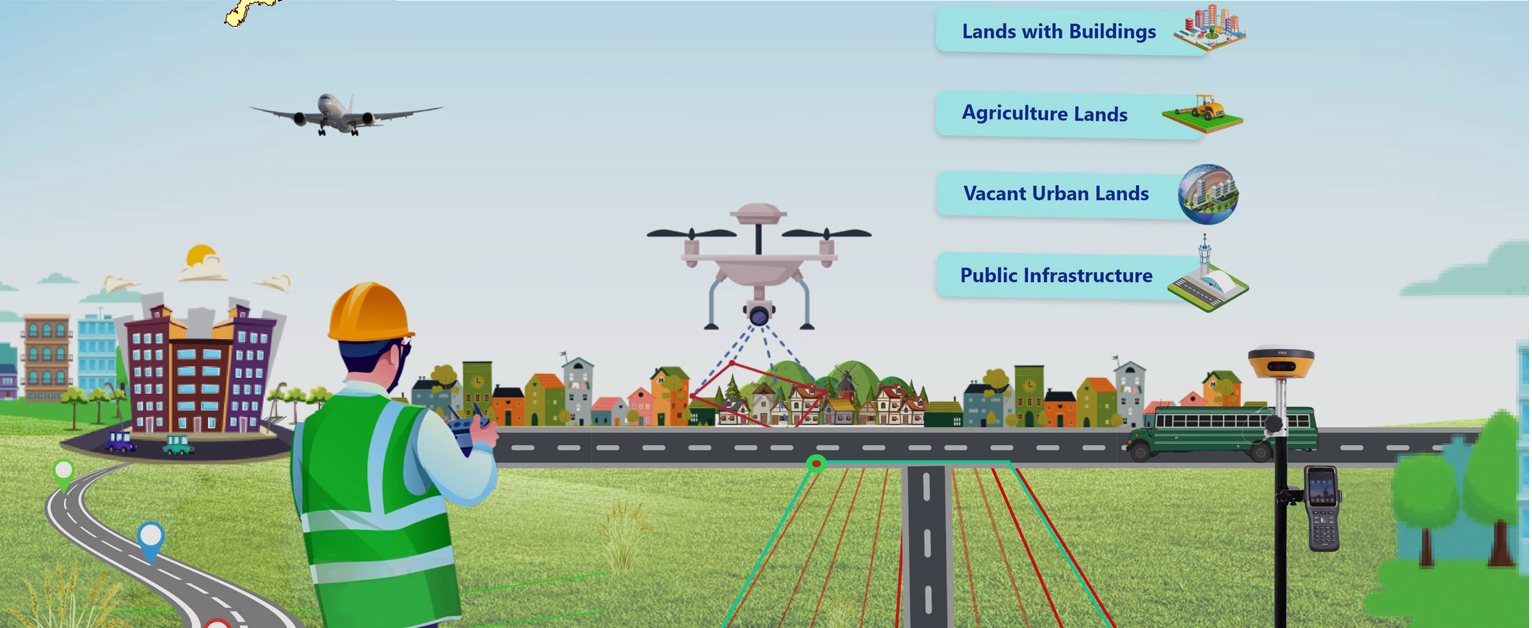
- High-precision GPS and drone mapping
- Digital property boundary demarcation
- Property ownership verification
- Land use classification
- Integration with existing records
Digital Integration
- Creation of digital property records
- GIS database development
- Online property record access
- Integration with urban planning tools
- Real-time data updates
Benefits
For Property Owners
- Clear property boundaries and titles
- Easy access to property records
- Reduced property disputes
- Simplified property transactions
- Enhanced property value
For Urban Development
- Accurate urban planning data
- Better infrastructure planning
- Improved tax assessment
- Efficient land use management
- Data-driven development decisions
Implementation Status
The Urban Resurvey initiative is being implemented in phases across urban local bodies:
- Phase 1: Initial survey and data collection
- Phase 2: Digital record creation and verification
- Phase 3: GIS database integration
- Phase 4: Public access portal development
- Phase 5: Integration with urban planning systems
